Chatra is one of the 24 districts of Jharkhand, India. It is located in the northern part of the state and is known for its historical significance, natural beauty, and rich cultural heritage. The district is famous for its waterfalls, ancient temples, and its role in India’s freedom struggle.
Geography:
- Coordinates: Latitude- 23.75°N, Longitude- 84.83°E
- Total Area: 3,706 square kilometers.
- Altitude: Approximately 450 meters above sea level.
- Boundaries: Gaya (Bihar), Hazaribag, Latehar and Palamu.
- Topography: The district has hilly terrain, with forests and rivers contributing to its scenic beauty. The Damodar River flows through its southern part.
- Climate: Chatra experiences a tropical monsoon climate, characterized by hot summers, moderate rainfall, and cool winters.
History:
Chatra has a rich historical background and played a crucial role in India’s freedom struggle. The district was once a part of the Magadha Empire and later came under the control of the Mughals and the British.
During the British era, Chatra was a center of resistance, with several tribal revolts taking place. The famous Santhal and Kol rebellions also influenced the region.
Demographics (As per 2011 Census):
- Total Population: ~1,042,000
- Sex Ratio: ~952 females per 1,000 males.
- Literacy Rate: ~60%
- Languages spoken: Hindi(official), Magahi, Khortha, Santhali, Kurukh, Nagpuri(Sadri), Bogpuri.
Administrative Divisions:
Chatra district is divided into three subdivisions and twelve blocks.
- Subdivisions:
- Chatra
- Simaria
- Tandwa
- Blocks:
- Chatra
- Simaria
- Tandwa
- Gidhour
- Itkhori
- Kanhachatti
- Mayurhand
- Hunterganj
- Pratappur
- Kunda
- Lawalong
- Pathalgada
Economy:
The economy of Chatra is primarily agriculture-based, with a majority of the population engaged in farming. The main crops grown are Paddy, Maize, Pulses and Wheat.
Besides agriculture, coal mining and small-scale industries contribute to the district’s economy. The presence of Tandwa Thermal Power Plant and coal mines boosts industrial development.
Transportation and Connectivity:
- Air: The nearest airports are Gaya Airport (Bihar) (~65 km) and Birsa Munda Airport (Ranchi) (~150 km).
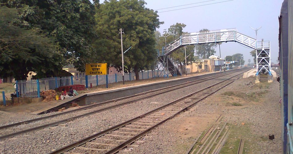
- Rail: The nearest railway stations are in Gaya (Bihar) and Hazaribagh. Chatra itself does not have a major railway station.
- Road: Chatra is well connected by roads, with National Highway NH-22 passing through the district.
Education and Healthcare:
- Education: The district has several government and private schools, along with colleges like Chatra College and Simaria College.
- Healthcare: Chatra has a district hospital and several primary health centers, but advanced medical facilities are available in nearby cities like Hazaribagh and Ranchi.
Tourist Attractions:
- Kauleshwari Temple – A revered temple dedicated to Goddess Kali, known for its historical significance and scenic beauty.
- Bhairavnath Temple – An ancient temple attracting pilgrims from nearby areas.
- Keridah Waterfall – A serene waterfall with a peaceful environment.
- Kolhua Hill – A historical site associated with the Mahabharata era.
- Bichkiliya Waterfall – A hidden gem surrounded by lush greenery.
- Tamasin Waterfall – A picturesque waterfall, ideal for nature lovers and trekking enthusiasts.
Culture and Festivals:
The people of Chatra celebrate various festivals like Sarhul, Durga Puja, Karma Puja, Makar Sankranti and Chhath Puja with great enthusiasm.
Challenges and Development:
Despite its natural beauty and rich history, Chatra faces challenges like Lack of industrial growth, Unemployment, and Maoist insurgency in some areas.