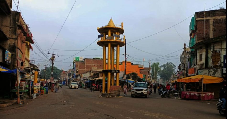
Gumla district is located in the state of Jharkhand, India. It is one of the 24 districts of the state and holds significant historical, cultural, and geographical importance.
Here’s a detailed overview of Gumla district:
Geography:
- Location: Situated in the southwestern part of Jharkhand, Gumla shares its borders with districts like Ranchi, Lohardaga, Simdega, and parts of Chhattisgarh and Odisha.
- Terrain: The district is characterized by hilly landscapes, dense forests, and several rivers. Key rivers include the Sankh, South Koel, and Neranjana.
- Climate: The climate is generally moderate, with distinct summer, monsoon, and winter seasons.
History:
- During British rule, Gumla was a part of the Ranchi district and became an independent district in 1983.
- Gumla was historically dominated by indigenous tribes like the Oraon, Munda, and Kharia.
- The region has a rich history linked to tribal culture and the freedom movement.
Demographics:
- Tribal Population: A significant portion belongs to Scheduled Tribes, with the Oraon tribe being prominent.
- Population: As per the 2011 Census, the population of Gumla district is approximately 1 million.
- Languages: The main languages spoken are Nagpuri, Kurukh, Hindi, and Sadri.
Administrative Divisions:
The district is divided into subdivisions and blocks for administrative governance.
Subdivisions of Gumla:
- Gumla Sadar Subdivision
- Bishunpur Subdivision
- Chainpur Subdivision
Blocks:
Gumla district has 12 blocks and is responsible for governance, rural development, and implementation of government schemes.
List of Blocks in Gumla District:
- Bharno
- Bishunpur
- Chainpur
- Dumri
- Ghaghra
- Gumla
- Kamdara
- Kolebira
- Palkot
- Raidih
- Sisai
- Albert Ekka (Jari)
Municipal Administration:
- Gumla Nagar Parishad (Municipality): It manages urban infrastructure in Gumla town. It is responsible for water supply, sanitation, roads, and waste management.
Economy:
- Gumla is known for its production of lac, tamarind, and forest products.
- Agriculture is the primary occupation, with crops like paddy, maize, and wheat being cultivated.
- The region also has some small-scale industries and cottage businesses.
Tourist Attractions:
- Anjan Dham: Believed to be the birthplace of Lord Hanuman.
- Tanginath Dham: An ancient site with Shiva Linga and stone inscriptions.
- Nagpheni Hill: Known for its beautiful view and mythological significance.
- Dharni Pahar: A scenic spot ideal for trekking and nature enthusiasts.
Education and Institutions:
- Gumla has several educational institutions, including colleges affiliated with Ranchi University.
Transport:
- Gumla is well-connected by road, with National Highway NH-78 passing through it.
- The nearest major railway station is in Ranchi, and Birsa Munda Airport in Ranchi serves as the closest airport.
Culture and Festivals:
- Gumla is rich in tribal culture, with festivals like Sarhul, Karma, and Manda celebrated with great enthusiasm.
- Traditional dances such as Paika, Chhau, and Jhumar are integral to the region’s cultural heritage.
Notable Features:
- Gumla is home to dense forests that form part of the Chotanagpur Plateau ecosystem.
- The district is often called the “Rice Bowl of Jharkhand” due to its fertile lands.
- The name Gumla is believed to be derived from two words, Gaw(cows and cattles) and mela (fair). Later the name is transformed to Gumla.

