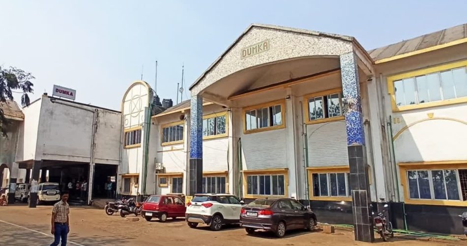
Dumka is one of the oldest districts of Jharkhand and serves as the sub-capital of the state. Located in the northeastern part of Jharkhand, it is a part of the Santhal Pargana division and is known for its rich tribal heritage, scenic landscapes, and historical significance. The district was established in 1865 and has a predominantly Santhali tribal population.
Geography:
- Location: Northeastern part of Jharkhand.
- Altitude: 100 to 500 meters above sea level.
- Coordinates: latitude- 24.27°N, longitude- 87.25°E.
- Area covered: Approximately 3,761 sq km.
- Neighbouring Districts: Godda, Jamtara, Birbhum (West Bengal), Deoghar and Pakur.
- Rivers: Mayurakshi, Ajay, and Bansloi
- Climate: Tropical climate with hot summers and moderate winters.
- Topography: Dumka district is characterized by undulating terrain, hilly landscapes, and fertile river valleys, making it one of the most scenic regions of Jharkhand.
History:
Dumka was originally inhabited by Santhal and Paharia tribes and remained largely independent during ancient and medieval times. Under British rule, it became part of Santhal Pargana and witnessed the famous Santhal Rebellion (1855-1856), led by Sidho and Kanho Murmu against British oppression. In 1872, Dumka was made the administrative headquarters of Santhal Pargana. After India’s independence, it remained part of Bihar until 2000, when Jharkhand was formed, and Dumka was declared its sub-capital.

